UK Bank Holiday weather: Exact date when 27C heatwave will hit after August washout
By Tim Hanlon
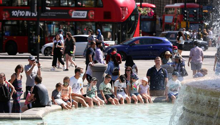
Sun seekers will be able to finally bathe in scorching temperatures as the mercury is set to rise this week and forecasters believe it could hit 27C just in time for the Bank Holiday weekend.
After a wet and overcast August for most Brits the warmer weather is arriving thanks to a plume moving in from Spain and the Azores promising sunshine and temperatures of 27C by Saturday.
Looking further ahead and the high pressure bringing the warmer conditions is set to last into September for an Indian summer.
A Met Office forecaster said that the warm weather is arriving throughout the day on Monday with temperatures building up to 23C.
“There’s a lot of dry weather on offer for many on Monday with a few sunny spells and temperatures warming a little,” she said.
“It’s all thanks to a high pressure that is building firmly across the country helping to keep Atlantic weather fronts well at bay to the west. So a lot of dry weather to come.”
The forecaster continued for Monday: “Tending to become brighter as the day progresses, if anything cloud will increase across the far west perhaps with the odd outbreak of rain or drizzle over high ground.
“Temperatures generally warmer than of late, generally around 22C or 23C across much of England, Wales and Scotland so a much warmer day.
“So into Monday afternoon and evening, so any cloud tending to break up, so by dusk a lot of clear spells across much of the country so a very pleasant end to the day.”
It’s been a poor summer so far for staycationers who decided to test their luck with the British weather during July and August this year rather than tackle Covid restrictions and heading abroad.
But finally there is more than just a glimmer of hope that the heatwave, that was suggested at the start of August, will hit perfectly for the Bank Holiday.
The Met Office forecaster said: “In terms of outlook then generally becoming a lot more settled as the week progresses with prolonged sunny spells, feeling generally warm.
By the end of the week it will be “very warm” said the Met Office website and similarly into September “temperatures are likely to be above average of the time of year”.
All good news after what has been an August washout with the Met Office having said some areas including London have had a month’s worth of average rainfall a full 12 days before the end.
UK 5 day weather forecast
Fine, dry and settled for most.
Monday:
Early mist, fog and low cloud clearing to leave most parts dry with increasing amounts of warm sunshine, though low cloud may persist along some coasts of Scotland and Northern Ireland.
Most places dry with patchy cloud and clear spells. Some fog patches forming, mainly in the northwest, whilst some drizzle in possible in the northeast.
Tuesday:
Low cloud breaking and fog patches clearing to leave a fine day with sunny spells. Sunniest in the west where it will feel very warm.
Outlook for Wednesday to Friday:
Settled and largely dry with light winds, variable cloud and sunny spells. Very warm in parts of the northwest at first, turning cooler and breezier from the east through Thursday.

